Hampton-in-Arden is a former Warwickshire village, which since 1974 has been in Solihull. Hampton-in-Arden was mentioned in the Domesday Book when it was held by Geoffrey de Wirce [1] and later by the Mowbrays and then the de Montford family of Coleshill before reverting to ownership by the crown. In later times the Manor of Hampton was bought by Sir Robert Peel.
Hampton was originally a large parish that includes Balsall, Knowle and Nuthurst but nowadays the parish is much reduced in size. It is bordered to the East by the river Blythe, to the West is largely farm land though to the North West it isn't long until you get to the sprawling complex that is the National Exhibition Centre and Birmingham Airport!
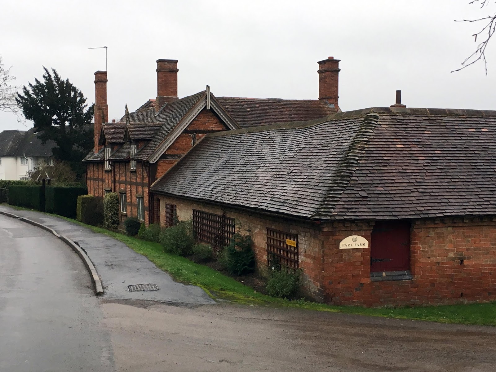
The village's oldest building is the Norman church of St Mary and St Bartholomew. There are a number of other buildings dating from Tudor times with parts of Moat Farm dating from the medieval period.
[1] "Parishes: Hampton-in-Arden." A History of the County of Warwick: Volume 4, Hemlingford Hundred. Ed. L F Salzman. London: Victoria County History, 1947. 81-86. British History Online. Web. 9 March 2019. http://www.british-history.ac.uk/vch/warks/vol4/pp81-86.
Showing posts with label Warwickshire. Show all posts
Saturday, March 9, 2019
Thursday, March 7, 2019
Colin P Witter Lock in Stratford-upon-Avon
Just down from Bancroft Basin in Stratford-upon-Avon where the river Avon and Stratford Canal met used to be the Lucy's Locks. These were staircase locks which allowed for a difference of nearly two and a quarter metres in height in the water level on the Avon. The locks were filled in in 1959 [1].
They were replaced by the Colin P Witter Lock built in the early 1970s next to the old site of the Lucy's Locks [2]. The lock has steel girder supports due to the depth of the lock and the unstable nature of the ground. Much of the work was done by volunteers from Gloucester prison. The gates were donated by the Port of London Authority from the abandoned Grand Surrey Canal.
[1] Charles Hadfield and John Norris, Waterways to Stratford (David and Charles, 1968) p. 60
[2] Jamie Davies, Shakespeare's Avon - the history of a navigation (Oakwood Press, 1996) p. 141
They were replaced by the Colin P Witter Lock built in the early 1970s next to the old site of the Lucy's Locks [2]. The lock has steel girder supports due to the depth of the lock and the unstable nature of the ground. Much of the work was done by volunteers from Gloucester prison. The gates were donated by the Port of London Authority from the abandoned Grand Surrey Canal.
![]() |
Head on view of the lock |
![]() |
A river cruise boat is in the lock |
[1] Charles Hadfield and John Norris, Waterways to Stratford (David and Charles, 1968) p. 60
[2] Jamie Davies, Shakespeare's Avon - the history of a navigation (Oakwood Press, 1996) p. 141
Thursday, February 28, 2019
Anne Hathaway's Cottage, Shottery
The wife of William Shakespeare, Anne Hathaway, lived in this farmhouse as a child. Parts of the farmhouse (it is a bit big to be a cottage despite the name) date to the fifteenth century or earlier [1] with the upper part seventeenth century. It is a large farmhouse with a hall and two wings and was once attached to ninety acres of farmland. The building remained owned by the Hathaway family until 1846 and since 1892 has been owned by the Shakespeare Birthplace Trust.
The farmhouse or cottage is in Shottery, a separate village just outside Stratford-upon-Avon though these days where Stratford ends and Shottery starts is a moot point.
[1] Nikolaus Pevsner & Alexandra Wedgwood, Warwickshire (Penguin, 1966) p. 397
The farmhouse or cottage is in Shottery, a separate village just outside Stratford-upon-Avon though these days where Stratford ends and Shottery starts is a moot point.
[1] Nikolaus Pevsner & Alexandra Wedgwood, Warwickshire (Penguin, 1966) p. 397
Saturday, February 23, 2019
Atherstone
Atherstone is a town at the very North of Warwickshire near the borders with Staffordshire and Leicestershire. Atherstone is in between Nuneaton and Tamworth and is also close to the site of the battle of Bosworth, which may have actually taken place in fields near Atherstone and not Bosworth.
Settlement in Atherstone dates back to Roman times with a Roman settlement in the adjoining village of Mancetter and the Roman road Watling street running through the town. Atherstone was listed in the Domesday Book and was granted a yearly fair by King Henry III in 1246 [1].
Atherstone became an affluent market town surrounded by agricultural lands and in later medieval times a centre for cloth and textile manufacture, being well known for it's hat industry. During the Industrial Revolution Atherstone was linked to the canal network by the Coventry Canal and the rail network by the West Coast Main Line though was eclipsed by the likes of Birmingham and Coventry industrially.
[1] "Parishes: Atherstone." A History of the County of Warwick: Volume 4, Hemlingford Hundred. Ed. L F Salzman. London: Victoria County History, 1947. 126-131. British History Online. Web. 23 February 2019. http://www.british-history.ac.uk/vch/warks/vol4/pp126-131.
Settlement in Atherstone dates back to Roman times with a Roman settlement in the adjoining village of Mancetter and the Roman road Watling street running through the town. Atherstone was listed in the Domesday Book and was granted a yearly fair by King Henry III in 1246 [1].
Atherstone became an affluent market town surrounded by agricultural lands and in later medieval times a centre for cloth and textile manufacture, being well known for it's hat industry. During the Industrial Revolution Atherstone was linked to the canal network by the Coventry Canal and the rail network by the West Coast Main Line though was eclipsed by the likes of Birmingham and Coventry industrially.
![]() |
Church of St Mary |
![]() |
Former wharf on the Coventry Canal |
![]() |
Lock house on the canal |
![]() |
This part of the Roman road Watling street goes under the West Coast Main Line |
[1] "Parishes: Atherstone." A History of the County of Warwick: Volume 4, Hemlingford Hundred. Ed. L F Salzman. London: Victoria County History, 1947. 126-131. British History Online. Web. 23 February 2019. http://www.british-history.ac.uk/vch/warks/vol4/pp126-131.
Thursday, February 21, 2019
Guild Hall, Henley-in-Arden
Next to the church of St John the Baptist on Henley-in-Arden's High Street is the Guild Hall. Like the church the Guild Hall is also of fifteenth century origin [1]. Although some original timbers remain the building has been extensively restored. The Guild Hall is still used for meetings of the ceremonial Court Leet who meet every November.
The Court Leet has been meeting since at least 1333. Nowadays the Court Leet has no legal jurisdiction but administers the Guild Hall Trust which owns the Guild Hall and some other properties in the town.
[1] Nikolaus Pevsner & Alexandra Wedgwood, Warwickshire (Penguin, 1966) p. 310
The Court Leet has been meeting since at least 1333. Nowadays the Court Leet has no legal jurisdiction but administers the Guild Hall Trust which owns the Guild Hall and some other properties in the town.
[1] Nikolaus Pevsner & Alexandra Wedgwood, Warwickshire (Penguin, 1966) p. 310
Saturday, February 9, 2019
Lillington
Nowadays Lillington is a suburb of Leamington Spa though until 1890 was a separate village which has existed since Saxon times and is mentioned in the Domesday Book [1]. Since incorporation into Leamington Lillington has been greatly expanded with a new centre at Crown Way. The old village centre was around the parish church of St Mary Magdalene which, although rebuilt in Victorian times, still has some medieval features.
Also in Lillington is the Midland Oak. This is an oak tree (the original tree has gone but a new tree has been grown from an acorn of the original) which is supposed to be the "centre of England"*.
* Other centres of England are available.
[1] "Parishes: Lillington." A History of the County of Warwick: Volume 6, Knightlow Hundred. Ed. L F Salzman. London: Victoria County History, 1951. 161-164. British History Online. Web. 9 February 2019. http://www.british-history.ac.uk/vch/warks/vol6/pp161-164.
Also in Lillington is the Midland Oak. This is an oak tree (the original tree has gone but a new tree has been grown from an acorn of the original) which is supposed to be the "centre of England"*.
Midland Oak park |
St Mary Magdalene |
Entrance of churchyard of St Mary Magdalene |
Lillington |
* Other centres of England are available.
[1] "Parishes: Lillington." A History of the County of Warwick: Volume 6, Knightlow Hundred. Ed. L F Salzman. London: Victoria County History, 1951. 161-164. British History Online. Web. 9 February 2019. http://www.british-history.ac.uk/vch/warks/vol6/pp161-164.
Sunday, February 3, 2019
Claverdon
The Warwickshire village of Claverdon is in the Stratford district and is about eight kilometres from Warwick on the road to Henley-in-Arden [1]. The manor of Claverdon (then Cleverdone) was recorded in the Domesday Book. Over the centuries it was owned by the Earls of Warwick, Kent and the Spencer family (of whom Diana was a notable member in recent decades).
The village currently has a population of just over one thousand two hundred. The village has no real notable industry, though is amid extensive farm land. The most notable building in the village is the parish church of St Michael and All Angels - the chancel arch may date from the fourteenth century though the rest is the result of nineteenth century rebuilding [2].
North-East of the village is Stone building: an isolated rectangular tower. Claverdon Hall dates from the seventeenth century though has been much altered in recent years.
[1] "Parishes: Claverdon." A History of the County of Warwick: Volume 3, Barlichway Hundred. Ed. Philip Styles. London: Victoria County History, 1945. 69-73. British History Online. Web. 3 February 2019. http://www.british-history.ac.uk/vch/warks/vol3/pp69-73.
[2] Nikolaus Pevsner & Alexander Wedgewood, Warwickshire (Penguin, 1966) p. 233
The village currently has a population of just over one thousand two hundred. The village has no real notable industry, though is amid extensive farm land. The most notable building in the village is the parish church of St Michael and All Angels - the chancel arch may date from the fourteenth century though the rest is the result of nineteenth century rebuilding [2].
North-East of the village is Stone building: an isolated rectangular tower. Claverdon Hall dates from the seventeenth century though has been much altered in recent years.
A delightful old building, now a cooker shop |
The parish church of St Michael and All Angels |
The churchyard gate |
Church entrance |
Other residences |
The Red Lion public house |
[1] "Parishes: Claverdon." A History of the County of Warwick: Volume 3, Barlichway Hundred. Ed. Philip Styles. London: Victoria County History, 1945. 69-73. British History Online. Web. 3 February 2019. http://www.british-history.ac.uk/vch/warks/vol3/pp69-73.
[2] Nikolaus Pevsner & Alexander Wedgewood, Warwickshire (Penguin, 1966) p. 233
Subscribe to:
Posts (Atom)