Showing posts with label Village. Show all posts

Saturday, March 9, 2019

Hampton-in-Arden

Hampton-in-Arden is a former Warwickshire village, which since 1974 has been in Solihull. Hampton-in-Arden was mentioned in the Domesday Book when it was held by Geoffrey de Wirce [1] and later by the Mowbrays and then the de Montford family of Coleshill before reverting to ownership by the crown. In later times the Manor of Hampton was bought by Sir Robert Peel.

Hampton was originally a large parish that includes Balsall, Knowle and Nuthurst but nowadays the parish is much reduced in size. It is bordered to the East by the river Blythe, to the West is largely farm land though to the North West it isn't long until you get to the sprawling complex that is the National Exhibition Centre and Birmingham Airport!

The village's oldest building is the Norman church of St Mary and St Bartholomew. There are a number of other buildings dating from Tudor times with parts of Moat Farm dating from the medieval period.


[1] "Parishes: Hampton-in-Arden." A History of the County of Warwick: Volume 4, Hemlingford Hundred. Ed. L F Salzman. London: Victoria County History, 1947. 81-86. British History Online. Web. 9 March 2019. http://www.british-history.ac.uk/vch/warks/vol4/pp81-86.

Saturday, March 2, 2019

Lower Heyford

Lower Heyford is a village in Oxfordshire next to the river Cherwell and the Oxford Canal and is about midway between Banbury and Oxford.

There has been settlement in the area since before Anglo-Saxon times, the pre-Saxon Aves ditch marking the Eastern boundary of Lower Heyford parish. The village is known in Saxon chronicles and the later Domesday Book as Hegford or Haiforde. The village is also sometimes known as Heyford Bridge. It is thought the village has been continually inhabited since the sixth century at least.

After the Norman conquest Lower Heyford was given to Geoffery de Montbray, a senior and trusted adviser of William and the bishop of Coutances. In later times (the sixteenth century) the manor was sold to Corpus Christi College, Oxford. Corpus Christi still owned the estate in the 1950s.

Economically Lower Heyford had always been a rural backwater and the local economy was mostly agricultural. The village had a couple of watermills on the Cherwell, the arrival of the Oxford Canal in the 1790 meant that coal could be easily bought from coal fields elsewhere in the Midlands and unloaded at Heyford Wharf.


[1] "Parishes: Lower Heyford." A History of the County of Oxford: Volume 6. Ed. Mary D Lobel. London: Victoria County History, 1959. 182-195. British History Online. Web. 2 March 2019. http://www.british-history.ac.uk/vch/oxon/vol6/pp182-195.

Saturday, February 16, 2019

Haddenham

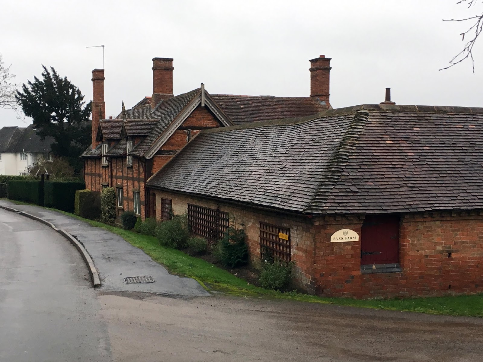
Haddenham is a Buckinghamshire village close to the Oxfordshire border and especially the village of Thame which is about three kilometres away. The village is recorded in the Domesday Book as Hedreham and may have been founded by members of the Anglo-Saxon Hadding tribe from Haddenham, Cambridgeshire.

For a few years (1294-1301) Haddenham had a charter to be a market town but lost it due to the proximity of Thame which objected to the competition. Agriculture was the main occupation of  Haddenham's inhabitants, the village was known for duck and poultry breeding [1] and also had a brick works.

The village has a rather unusual plan, stretching over one and half kilometres. The village was devastated by two fires in the eighteenth century which destroyed a large number of buildings, especially near the church [2].

The parish church, situated on the green, is dedicated to St. Mary dates back to before the thirteenth century and maybe even has remnants from Saxon times. The chancel is thirteenth centurieswith additions in later centuries. The church was rebuilt in Victorian times [3].


[1] "Parishes: Haddenham." A History of the County of Buckingham: Volume 2. Ed. William Page. London: Victoria County History, 1908. 281-286. British History Online. Web. 16 February 2019. http://www.british-history.ac.uk/vch/bucks/vol2/pp281-286.
[2]" Haddenham." An Inventory of the Historical Monuments in Buckinghamshire, Volume 1, South. London: His Majesty's Stationery Office, 1912. 176-184. British History Online. Web. 16 February 2019. http://www.british-history.ac.uk/rchme/bucks/vol1/pp176-184.
[3] Nikolaus Pevsner, Buckinghamshire (Penguin, 1960) p. 149

Saturday, February 9, 2019

Lillington

Nowadays Lillington is a suburb of Leamington Spa though until 1890 was a separate village which has existed since Saxon times and is mentioned in the Domesday Book [1]. Since incorporation into Leamington Lillington has been greatly expanded with a new centre at Crown Way. The old village centre was around the parish church of St Mary Magdalene which, although rebuilt in Victorian times, still has some medieval features.

Also in Lillington is the Midland Oak. This is an oak tree (the original tree has gone but a new tree has been grown from an acorn of the original) which is supposed to be the "centre of England"*.
Midland Oak park

St Mary Magdalene

Entrance of churchyard of St Mary Magdalene

Lillington

* Other centres of England are available.

[1] "Parishes: Lillington." A History of the County of Warwick: Volume 6, Knightlow Hundred. Ed. L F Salzman. London: Victoria County History, 1951. 161-164. British History Online. Web. 9 February 2019. http://www.british-history.ac.uk/vch/warks/vol6/pp161-164.

Sunday, February 3, 2019

Claverdon

The Warwickshire village of Claverdon is in the Stratford district and is about eight kilometres from Warwick on the road to Henley-in-Arden [1]. The manor of Claverdon (then Cleverdone) was recorded in the Domesday Book. Over the centuries it was owned by the Earls of Warwick, Kent and the Spencer family (of whom Diana was a notable member in recent decades).

The village currently has a population of just over one thousand two hundred. The village has no real notable industry, though is amid extensive farm land. The most notable building in the village is the parish church of St Michael and All Angels - the chancel arch may date from the fourteenth century though the rest is the result of nineteenth century rebuilding [2].

North-East of the village is Stone building: an isolated rectangular tower. Claverdon Hall dates from the seventeenth century though has been much altered in recent years.
A delightful old building, now a cooker shop

The parish church of St Michael and All Angels

The churchyard gate

Church entrance

Other residences

The Red Lion public house

[1] "Parishes: Claverdon." A History of the County of Warwick: Volume 3, Barlichway Hundred. Ed. Philip Styles. London: Victoria County History, 1945. 69-73. British History Online. Web. 3 February 2019. http://www.british-history.ac.uk/vch/warks/vol3/pp69-73.
[2] Nikolaus Pevsner & Alexander Wedgewood, Warwickshire (Penguin, 1966) p. 233